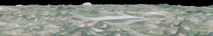
The LOIRE river, with a century frequency, floods over large parts of Orléans city. Our Parallel LOD can be used to visualise this flooding. Here the height of the water is interpolated from 19th century data by the French GeoHyd Compagny.
Parallel LOD for Static and Dynamic Generic Geo-Referenced Data
You can watch the film directly on this page or upload it here (mnt_phec.mov, mnt_wireframe.mov)